素不相识
萍水相逢俺太牛了!周六召集黄埔二期同学在家整了个爬梯,在助手的协同作战下,做了十三菜二汤加一包(有图有真相:当当当~~~黄埔二期的工作大餐 ),居然没累趴下。晚上继续上课加K歌不提,第二天在大帅领导下背着干粮,攀上少校山(Mt. Major)顶峰。并在峰顶上大吃大喝(吃干粮,喝西北风),大拍特照,一览众山群湖小,好不潇洒得意。如此看来每周爬梯,每天走路是确确实实锻炼人的。吹嘘完毕,上片片娱人!
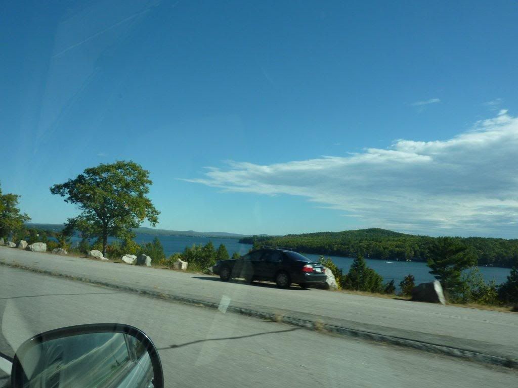
LG开车,早上八点半出门,一车四位女士,二位先生,10点20一马当先,第一车到达山脚
11点大队人马到齐
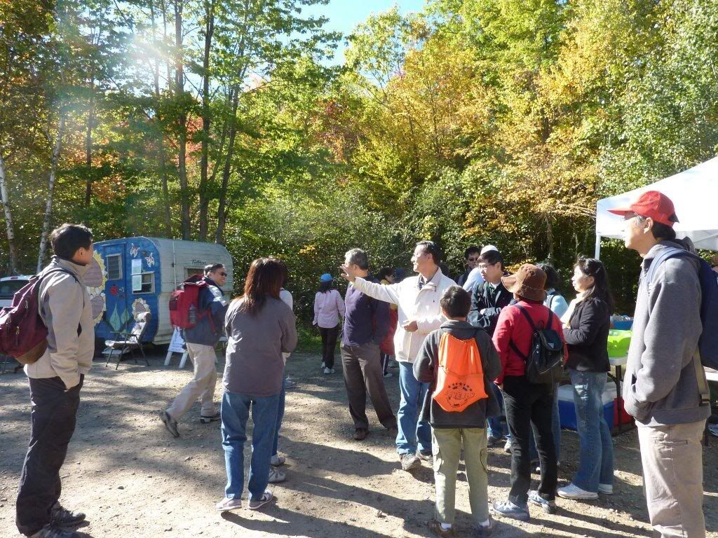
攀登开始
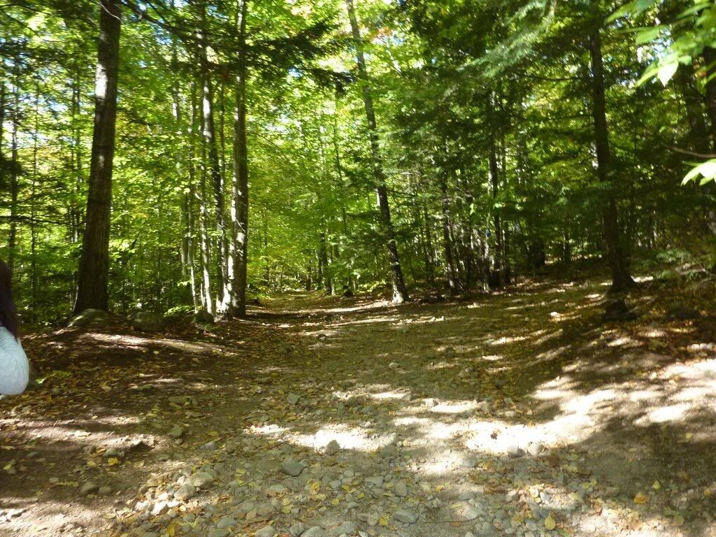
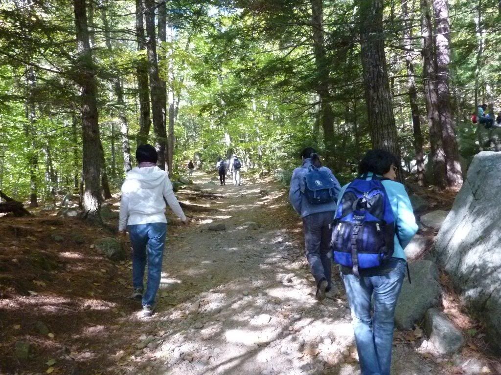
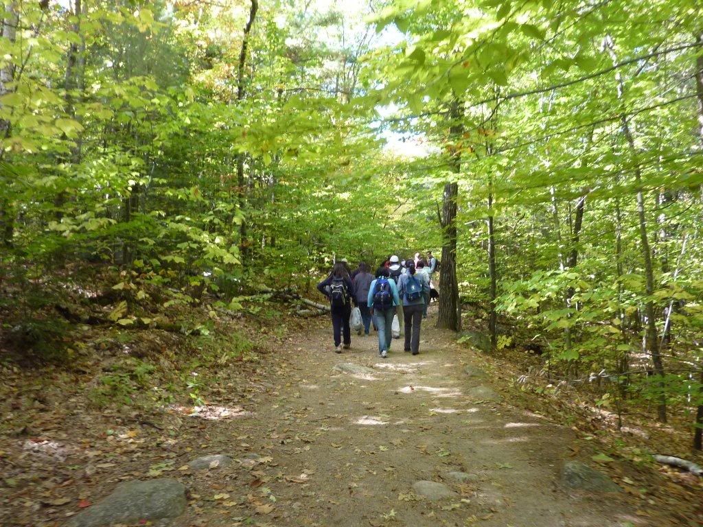
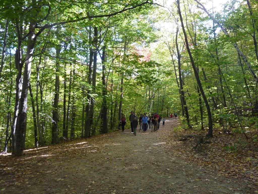
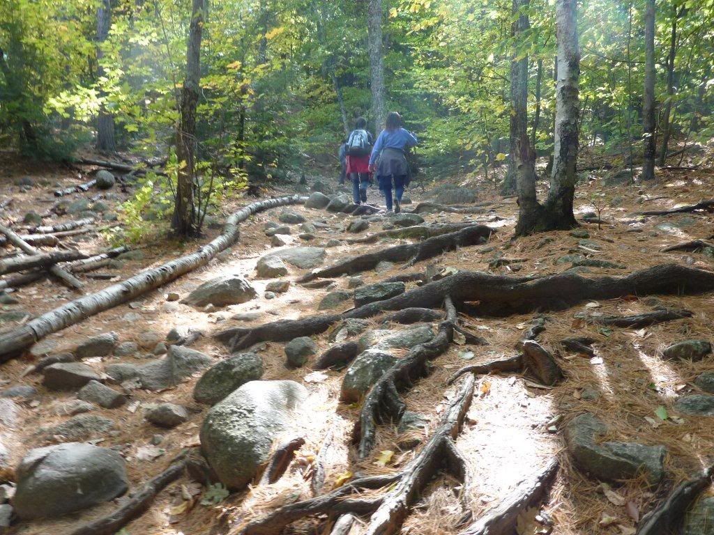
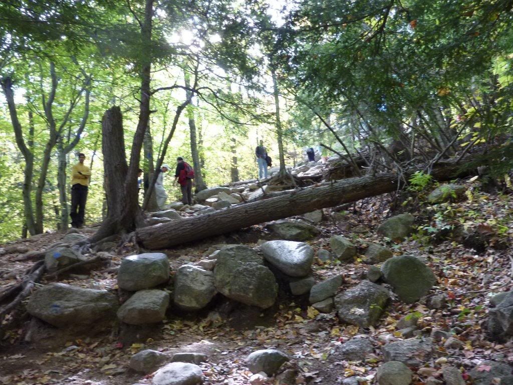
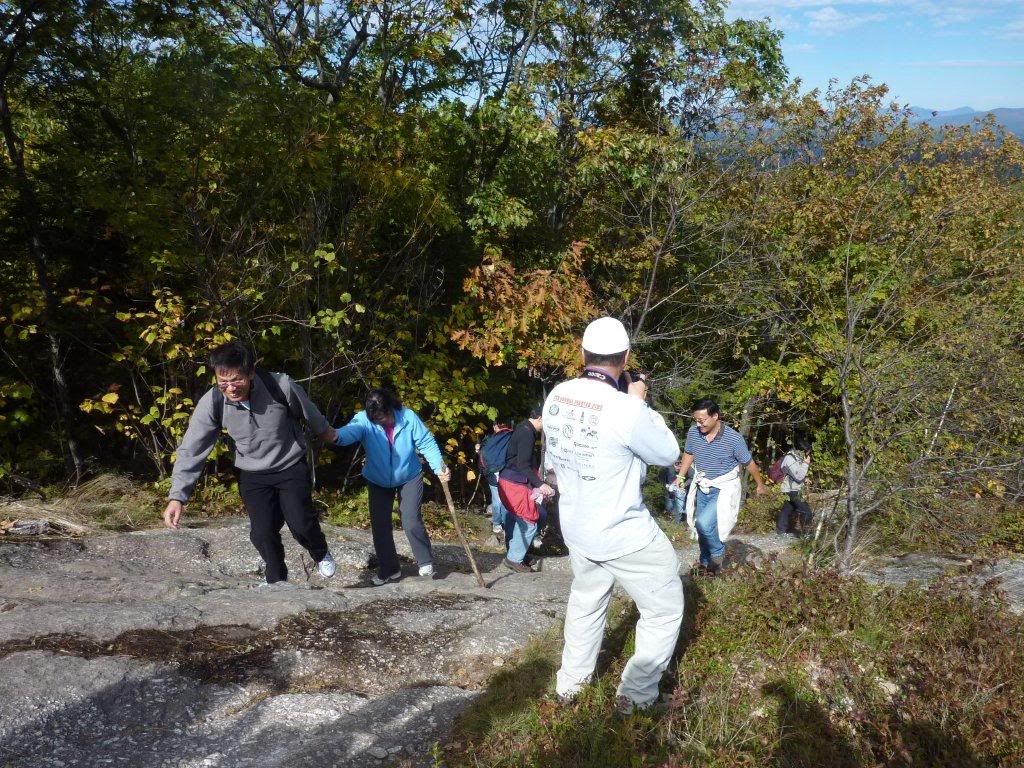
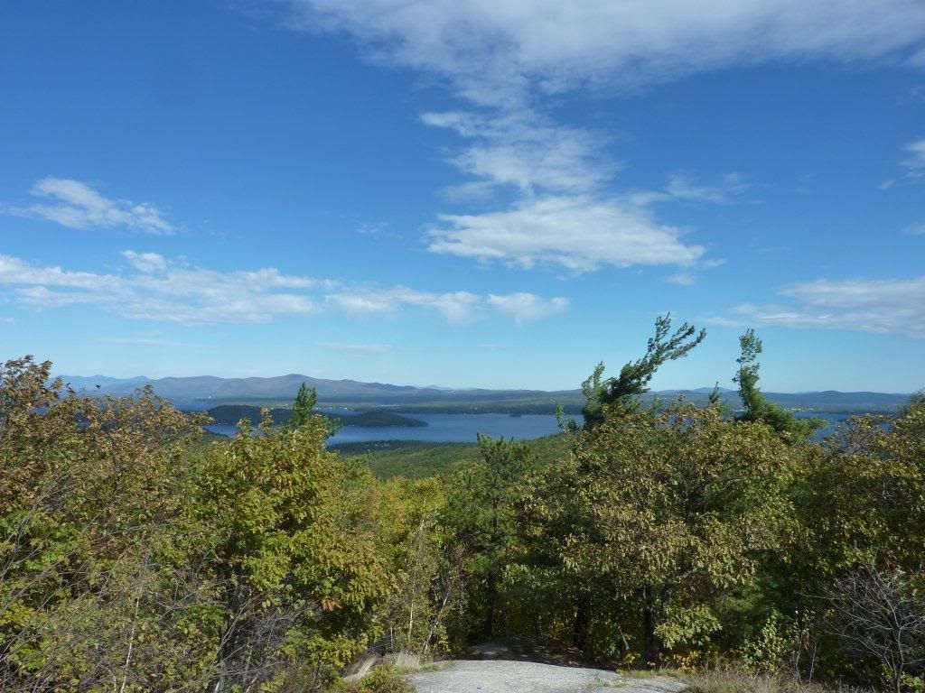
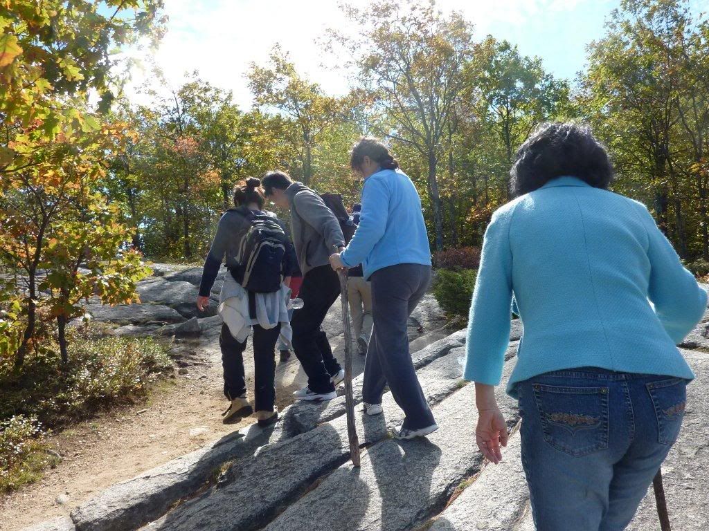
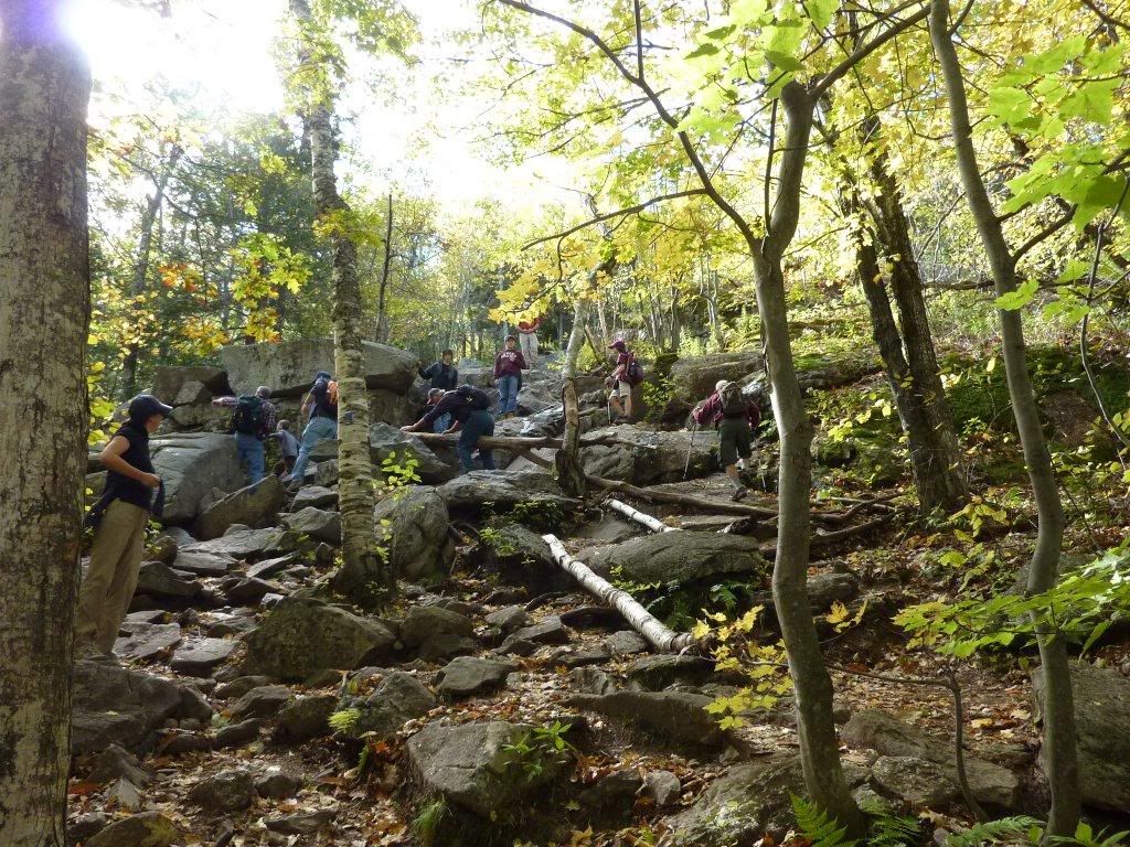
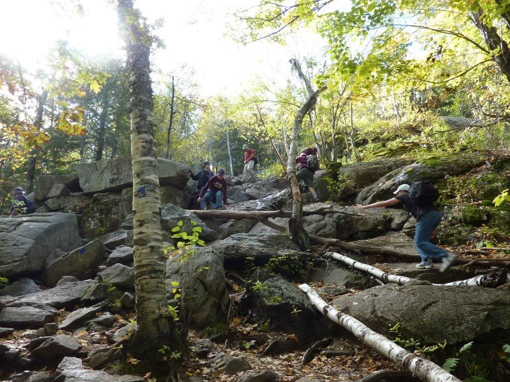
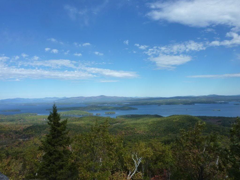
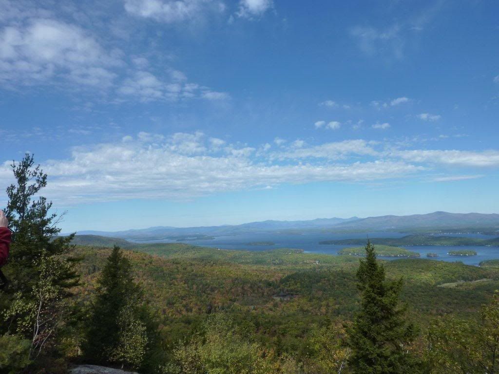
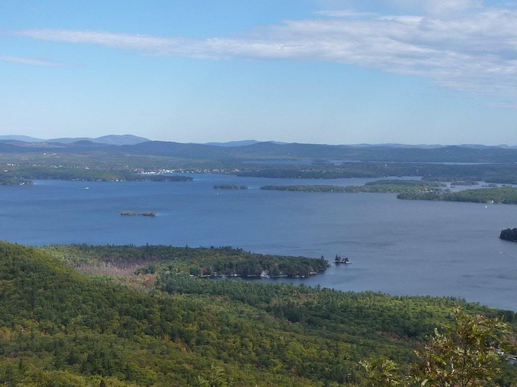
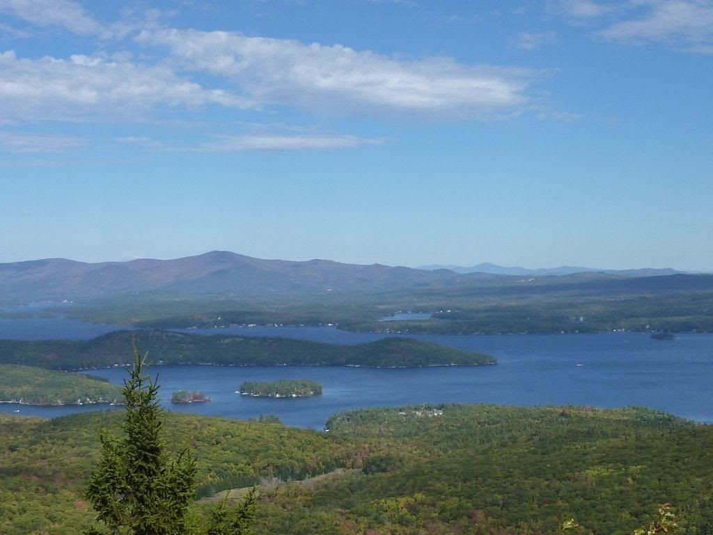
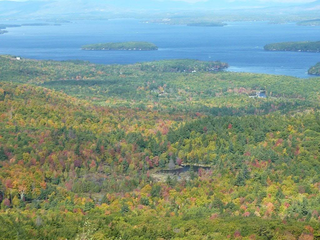
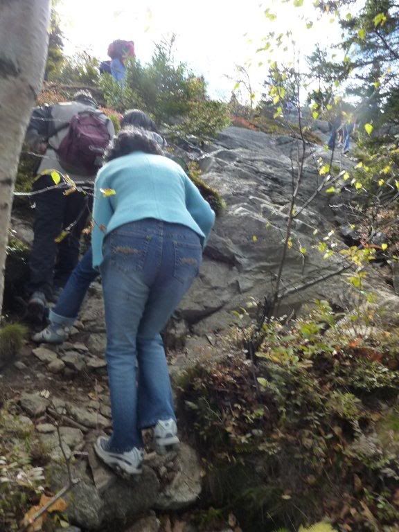
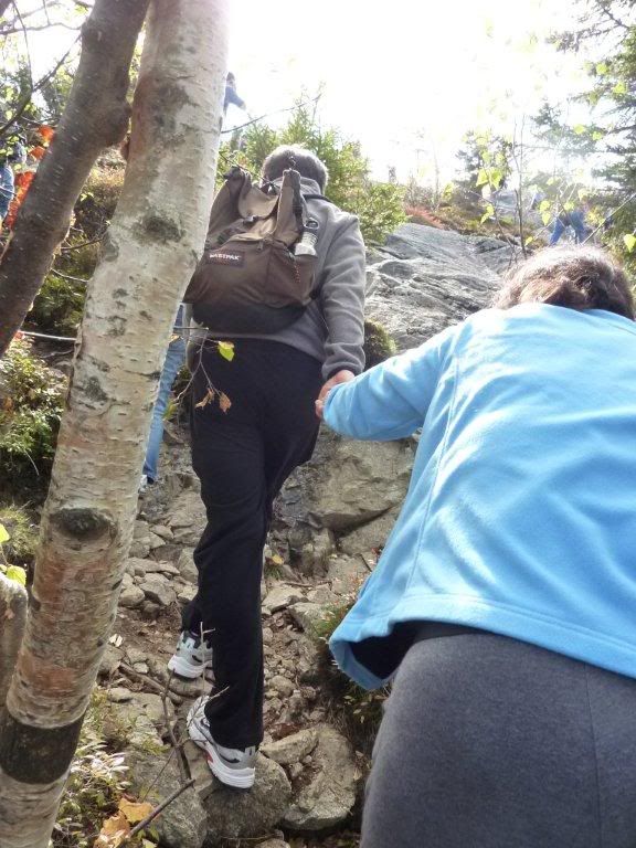
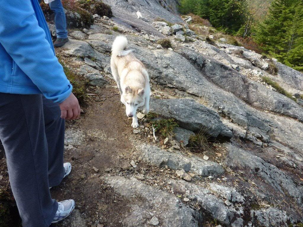
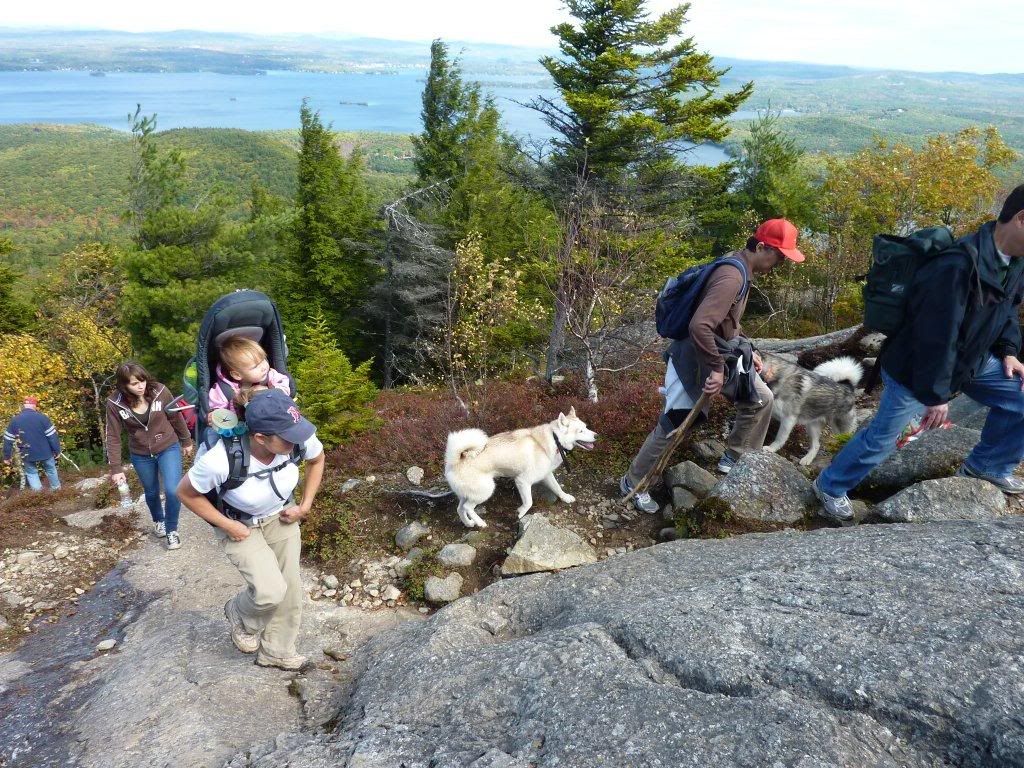
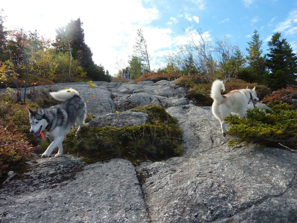
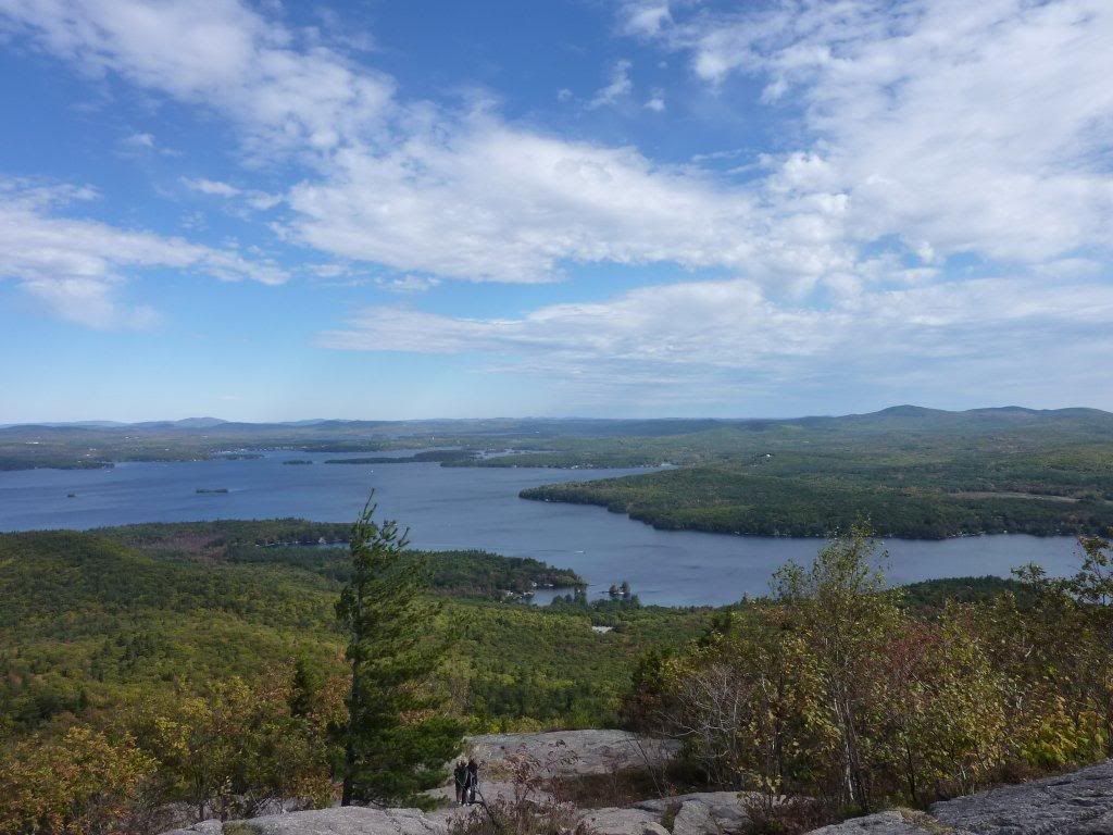
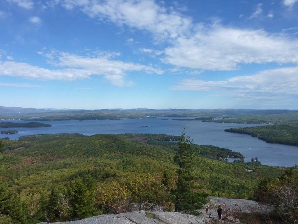
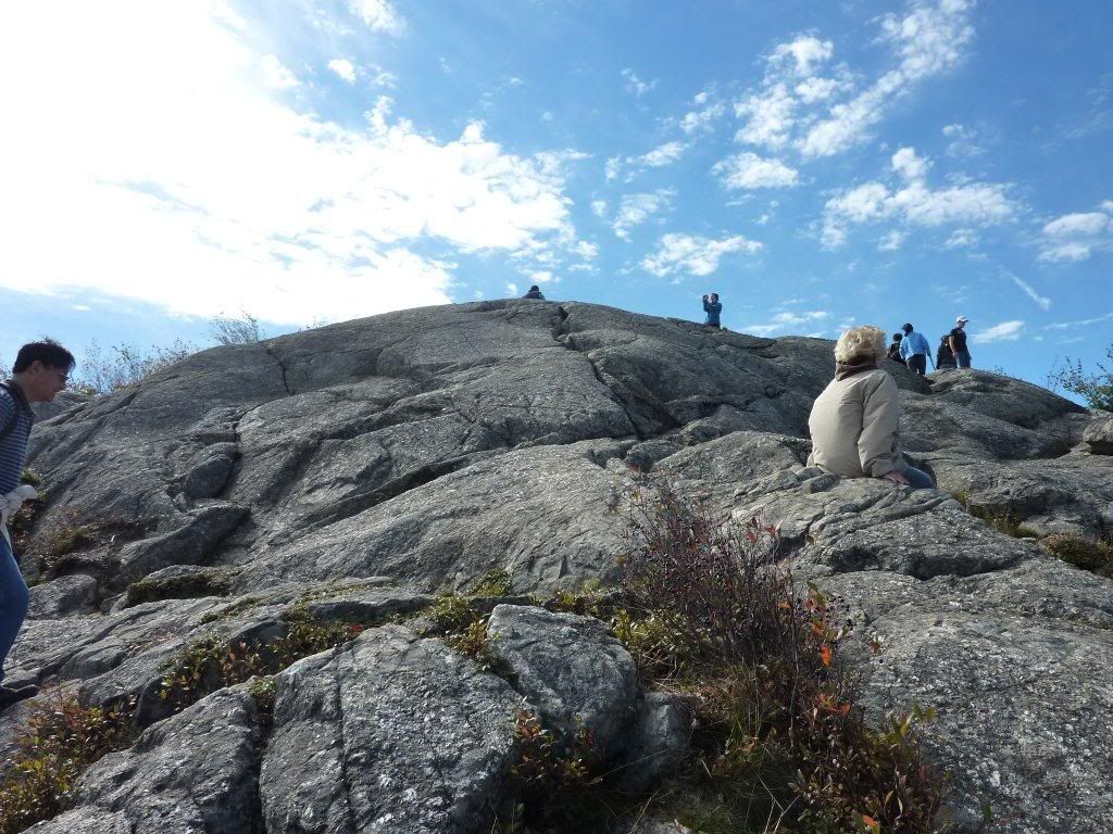
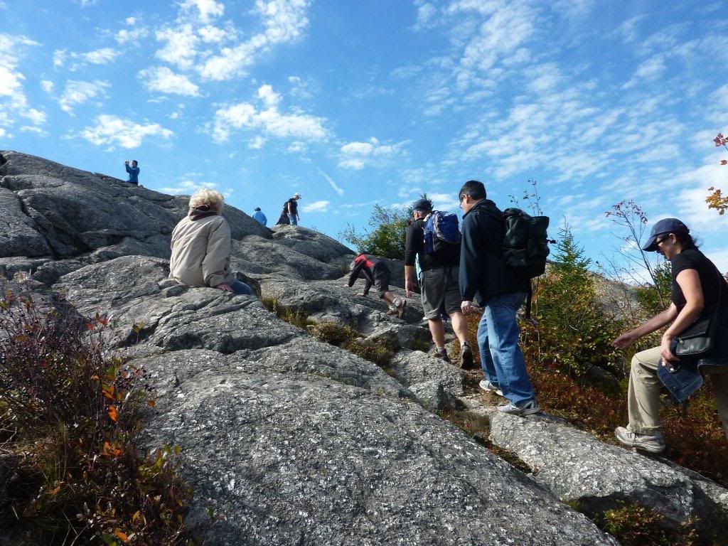
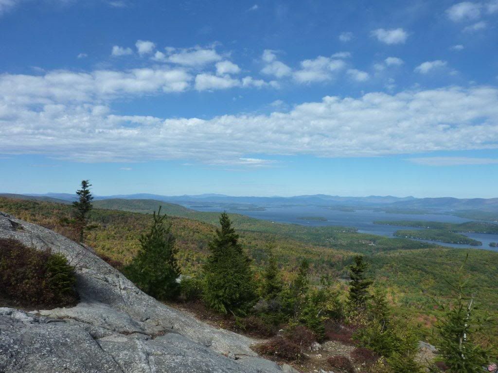
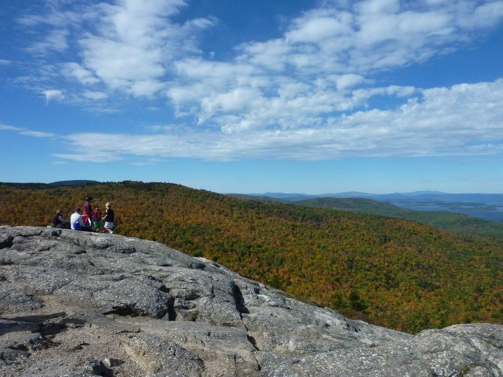
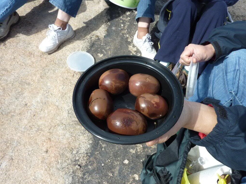
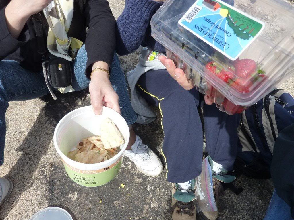
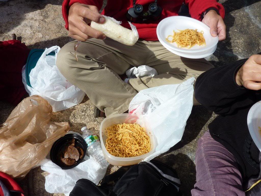
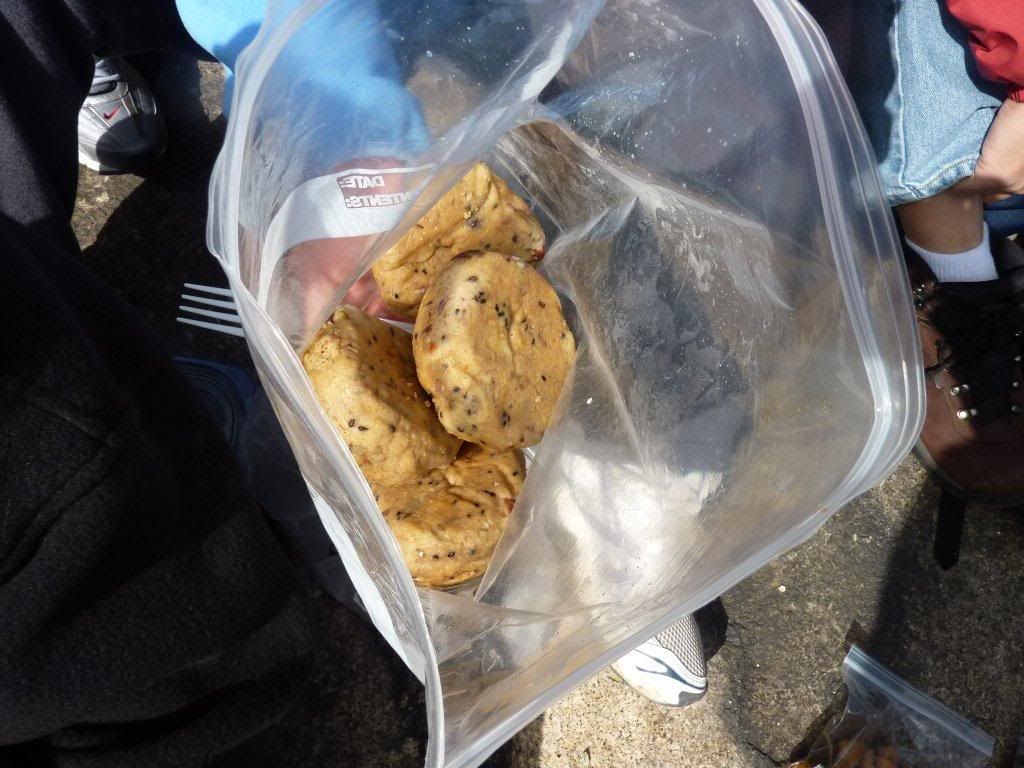
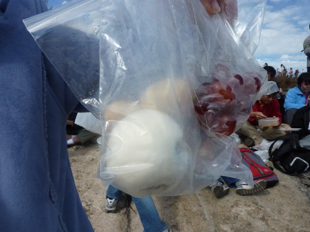
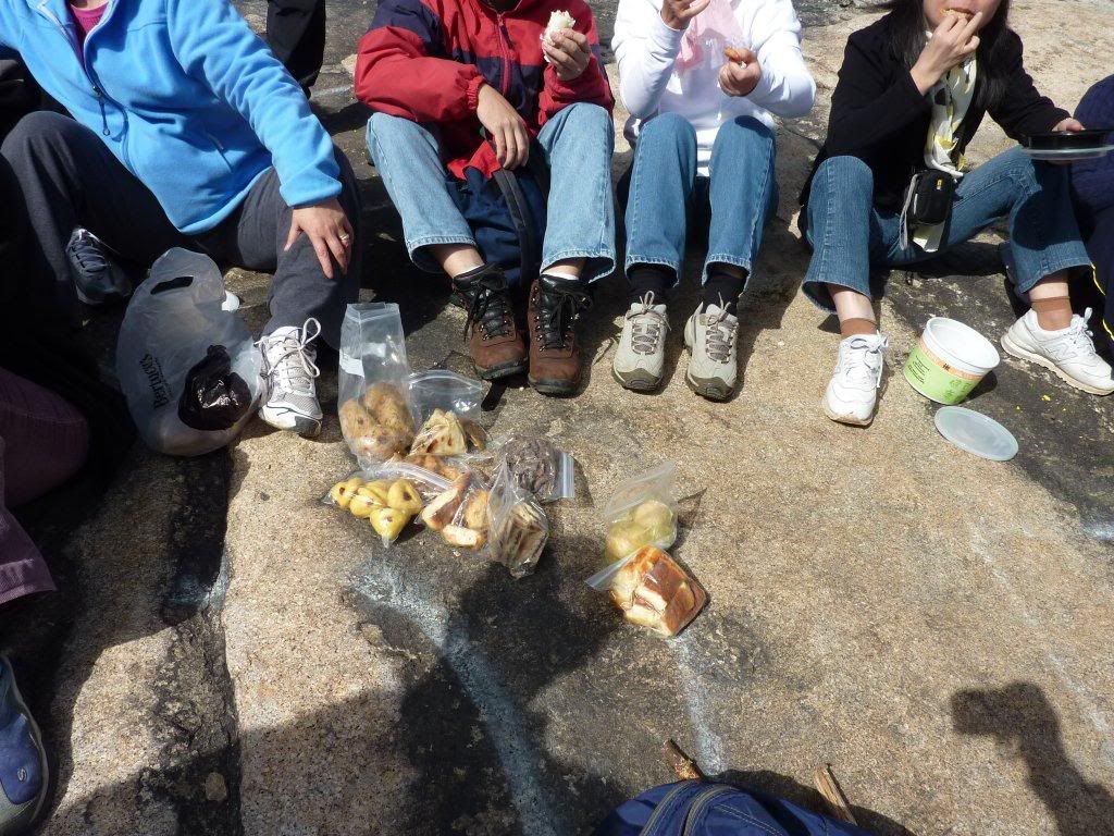
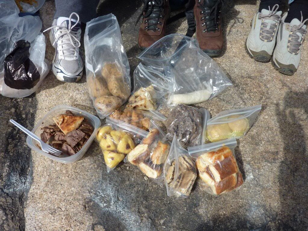
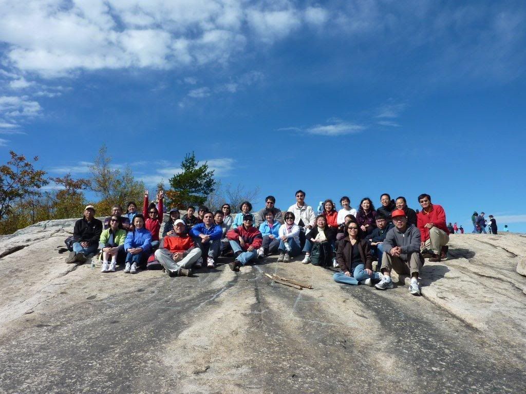
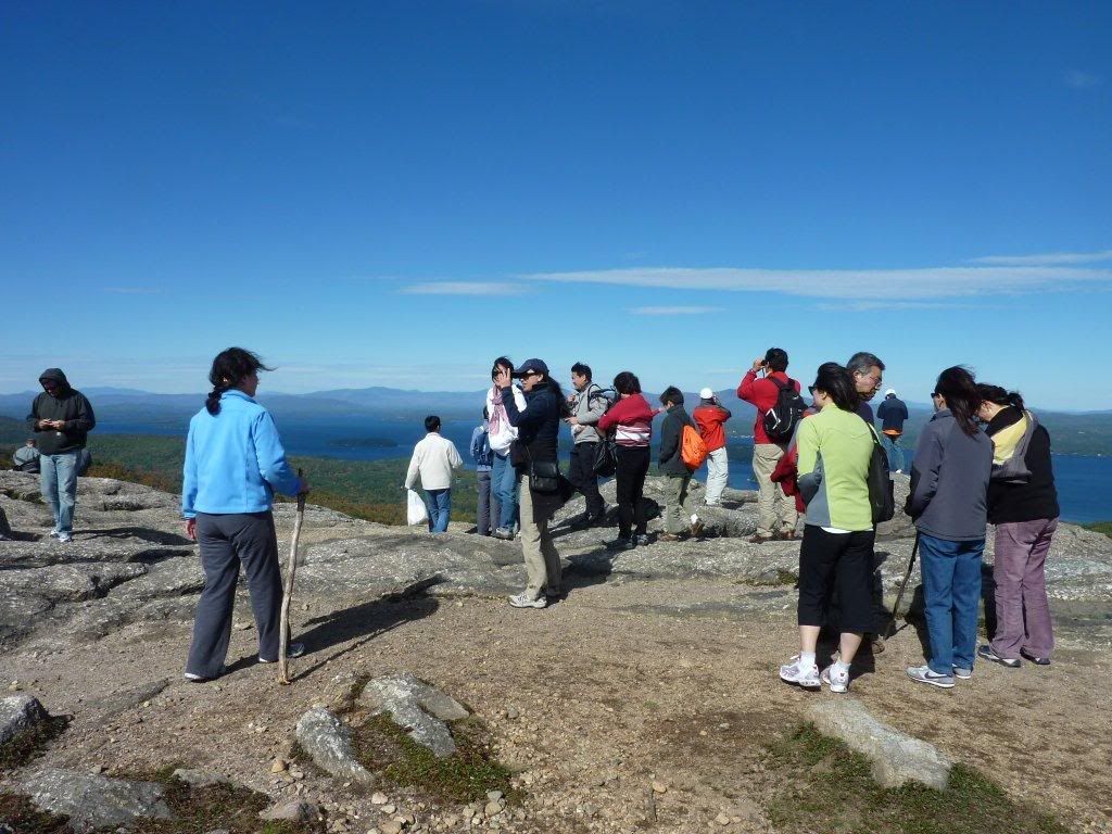
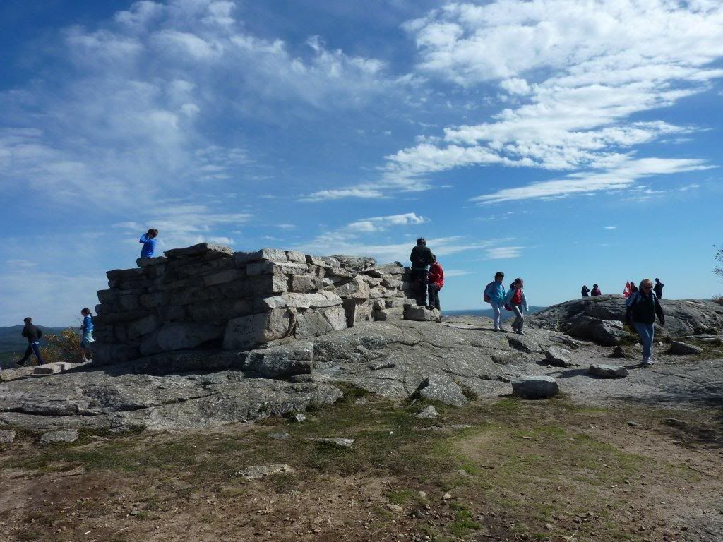
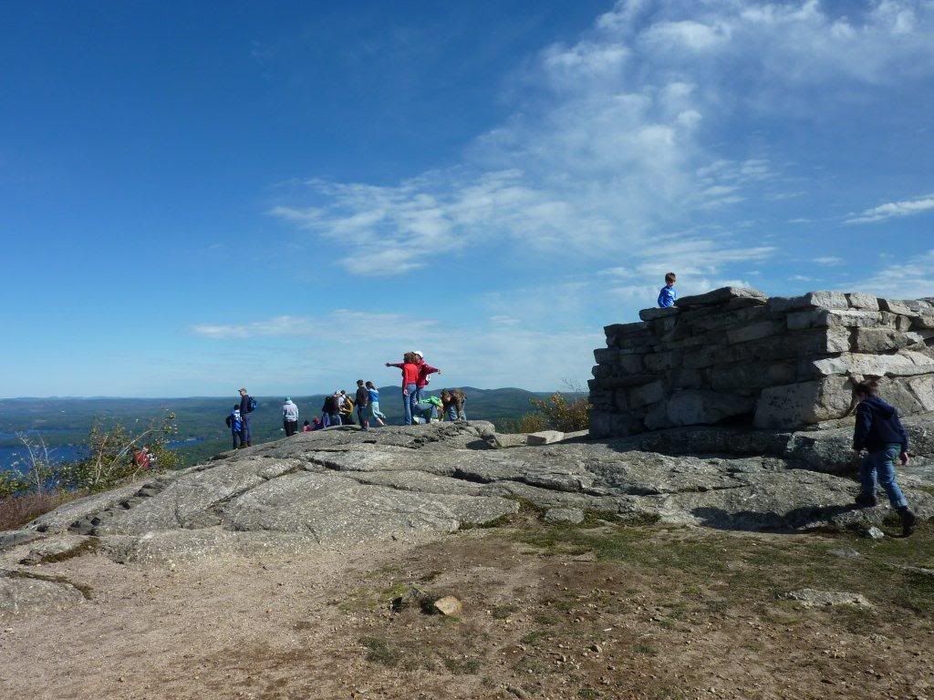
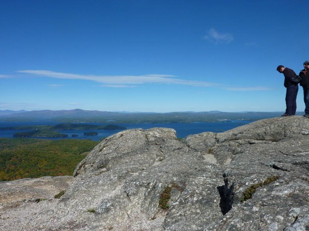
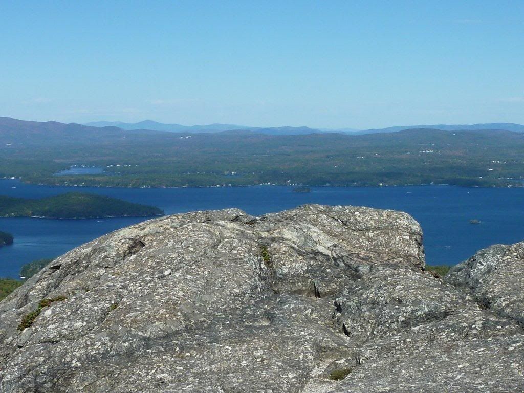
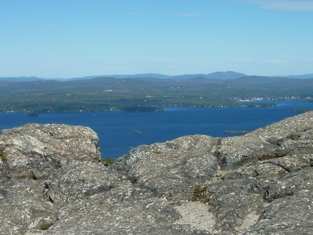
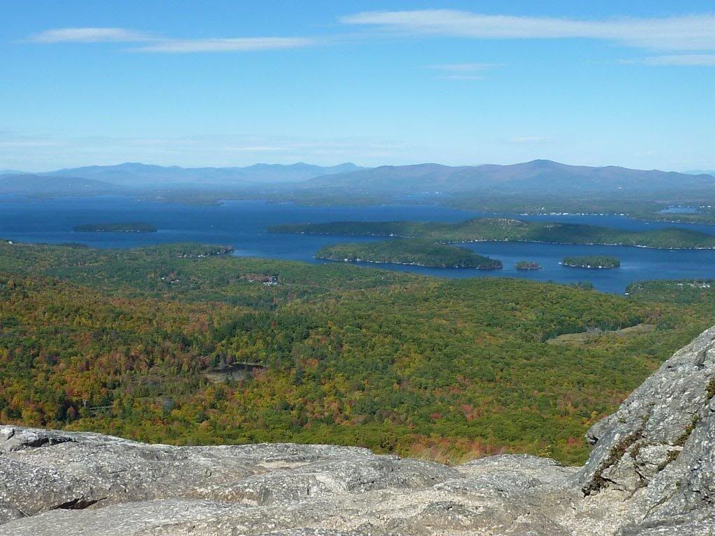
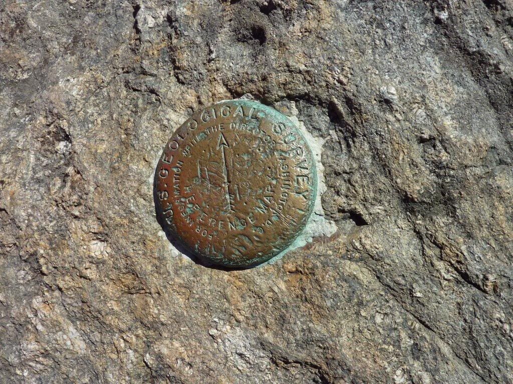
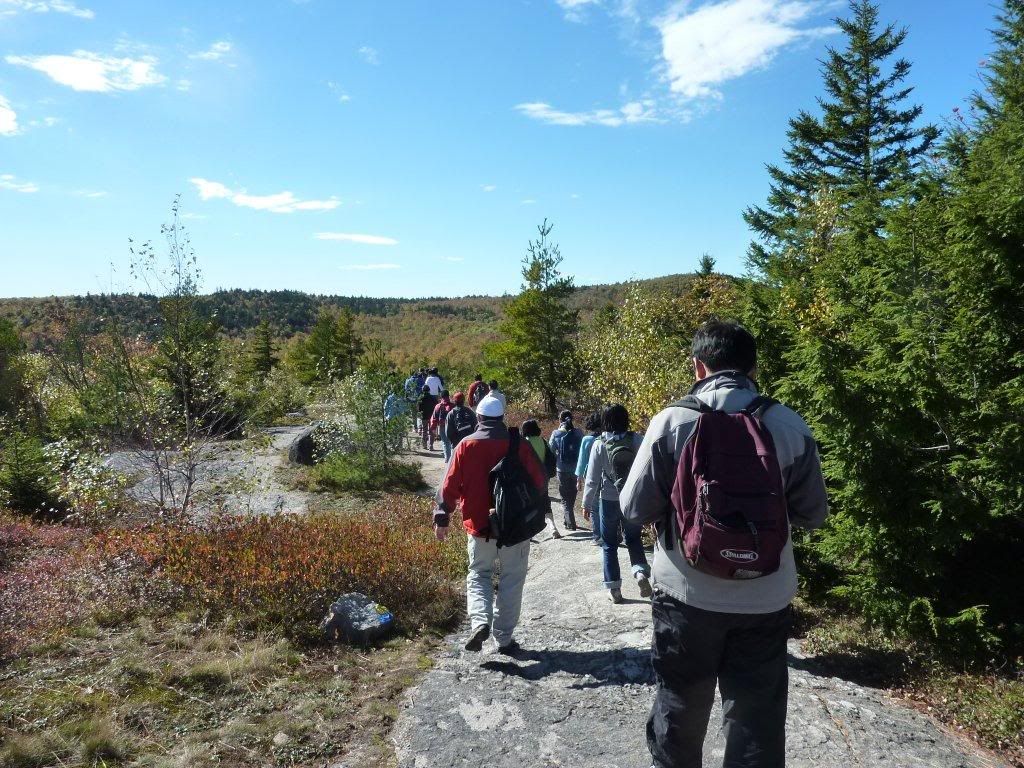
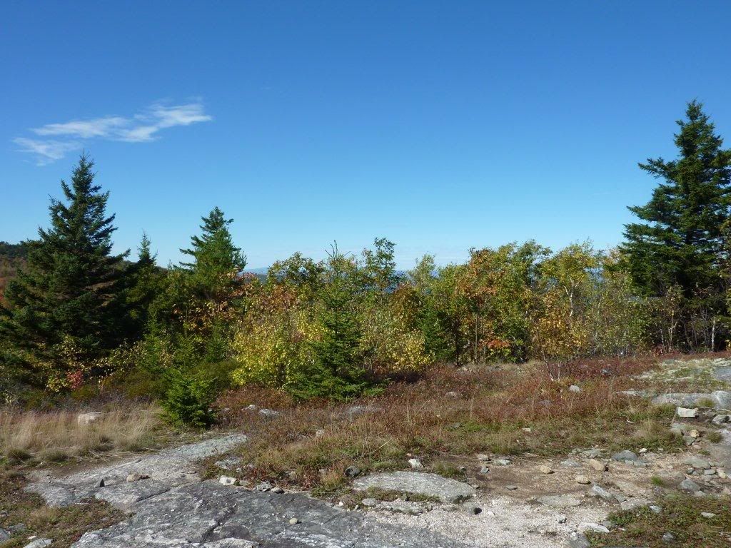
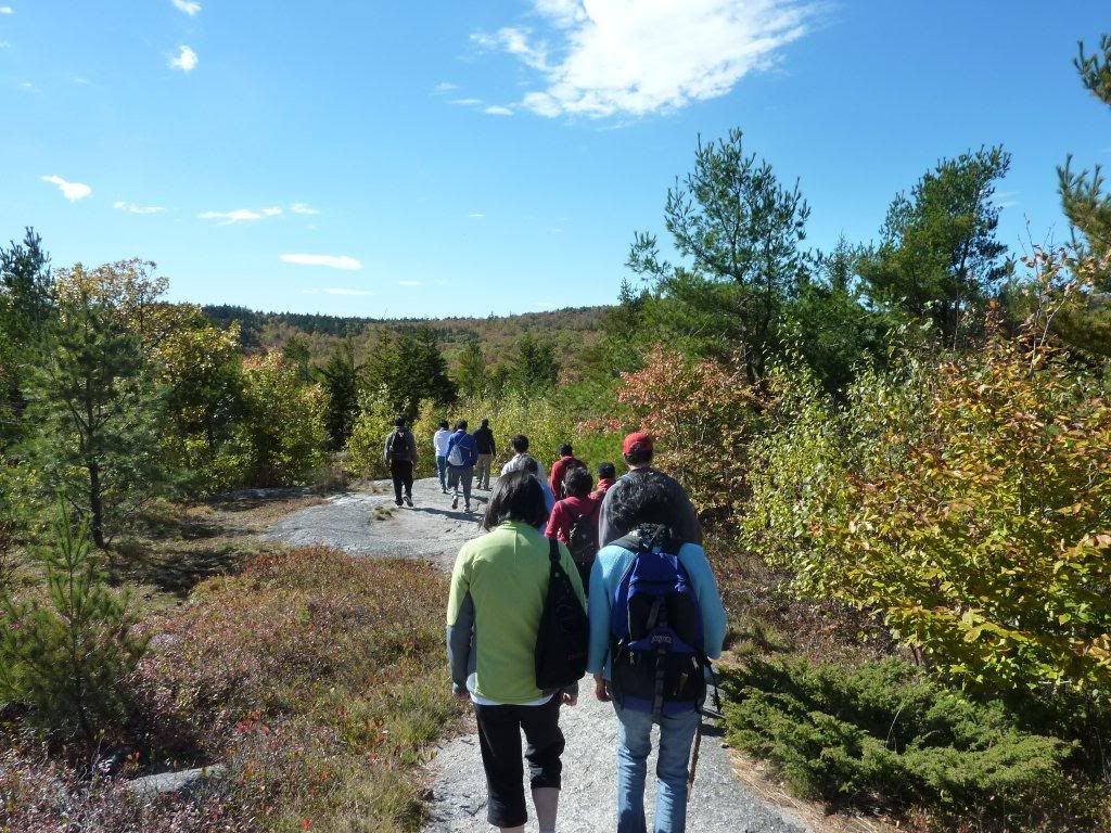
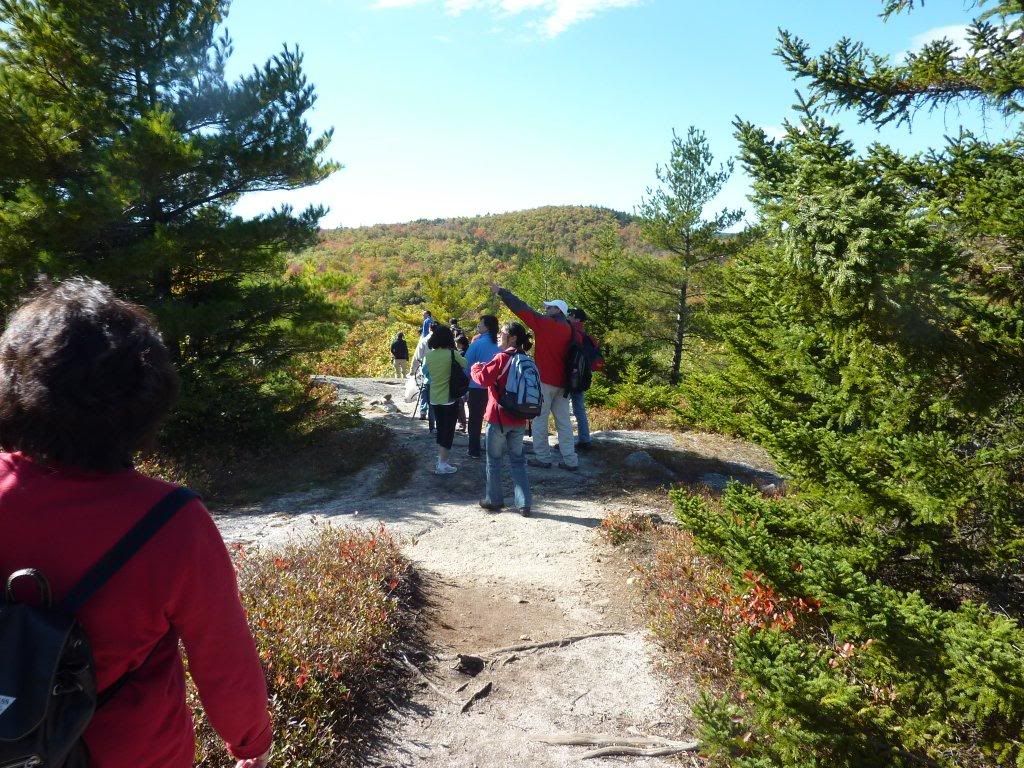
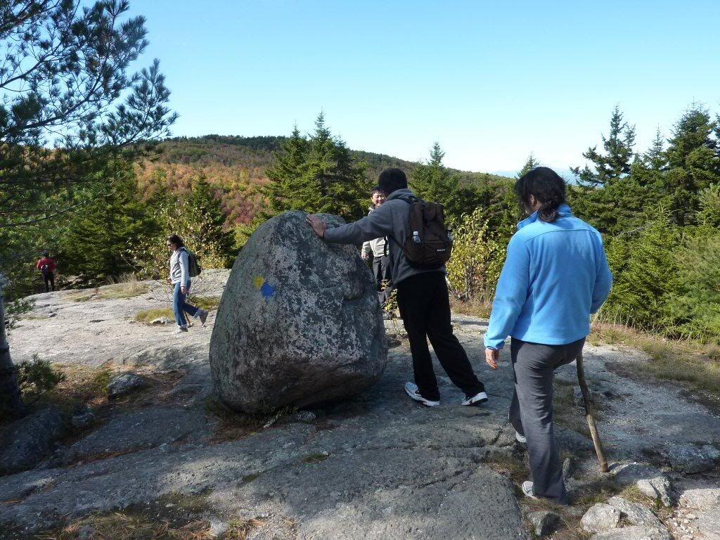
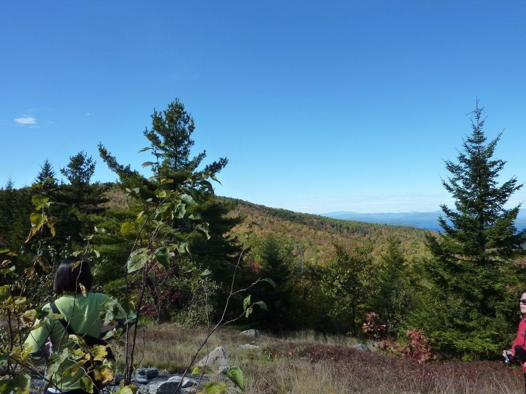
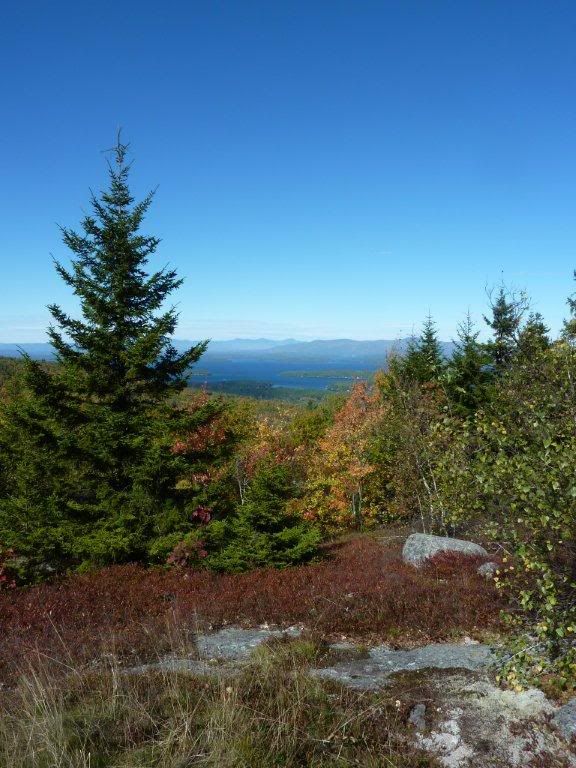
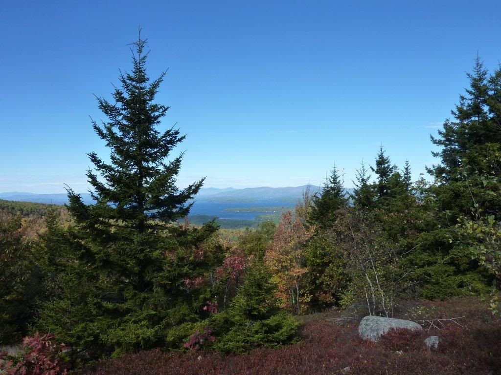
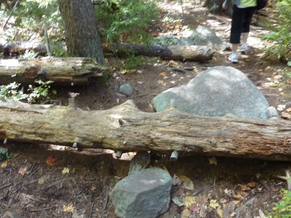
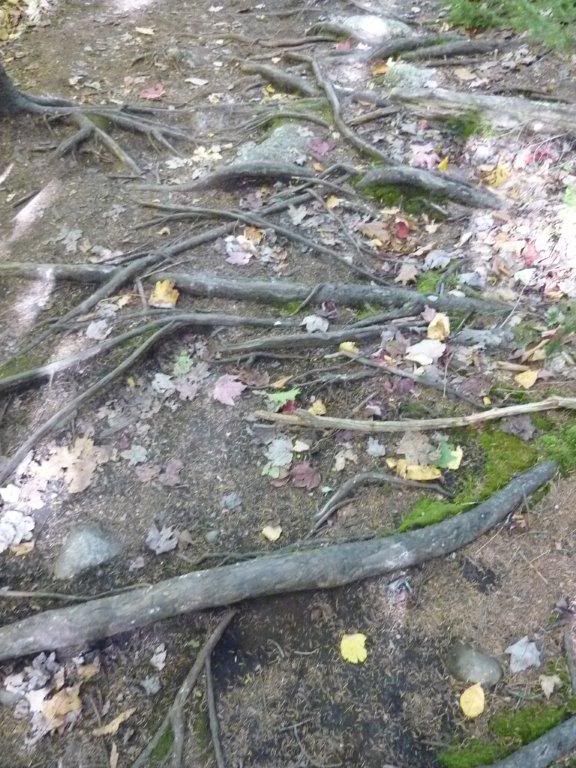
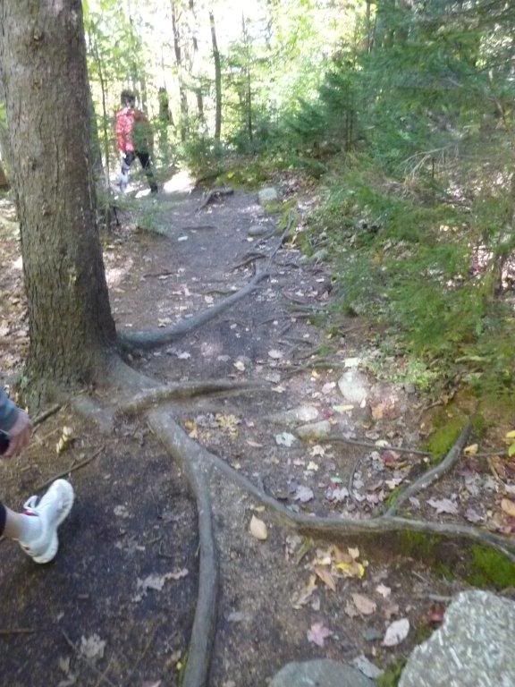
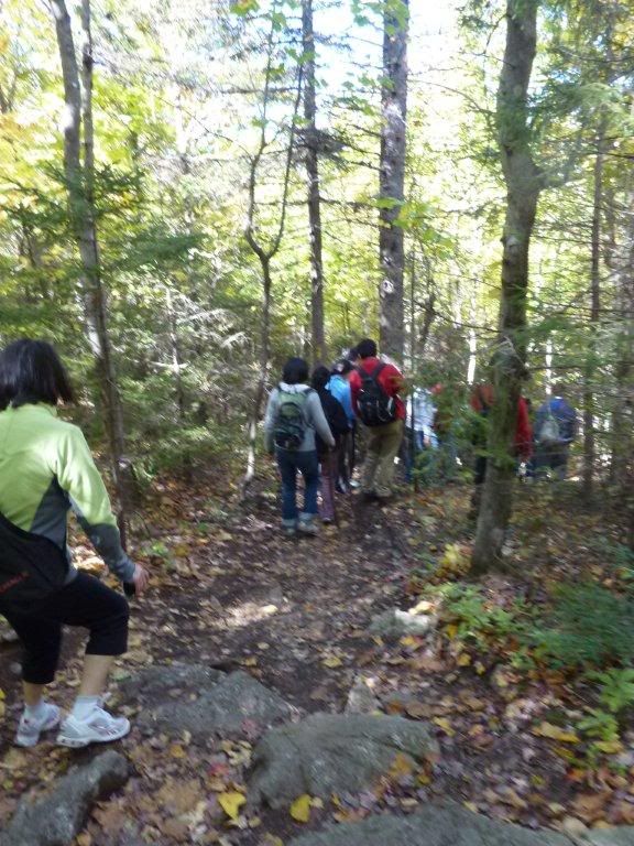
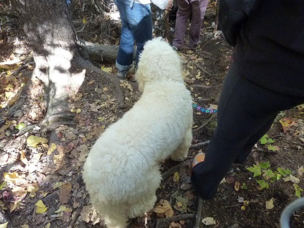
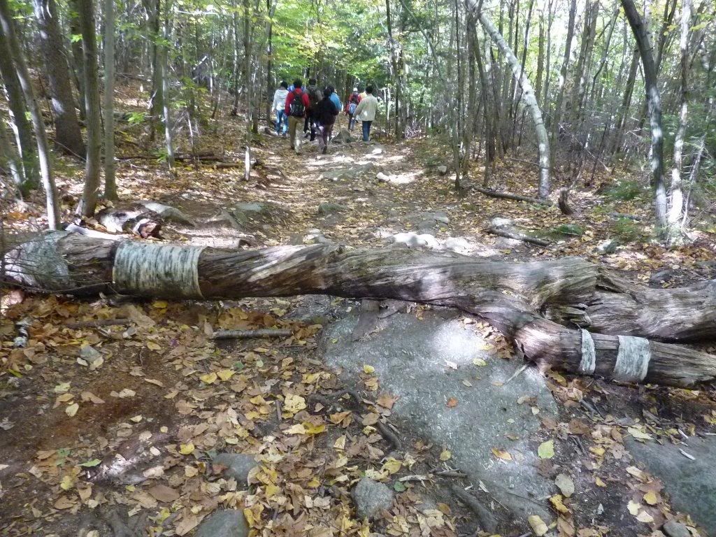
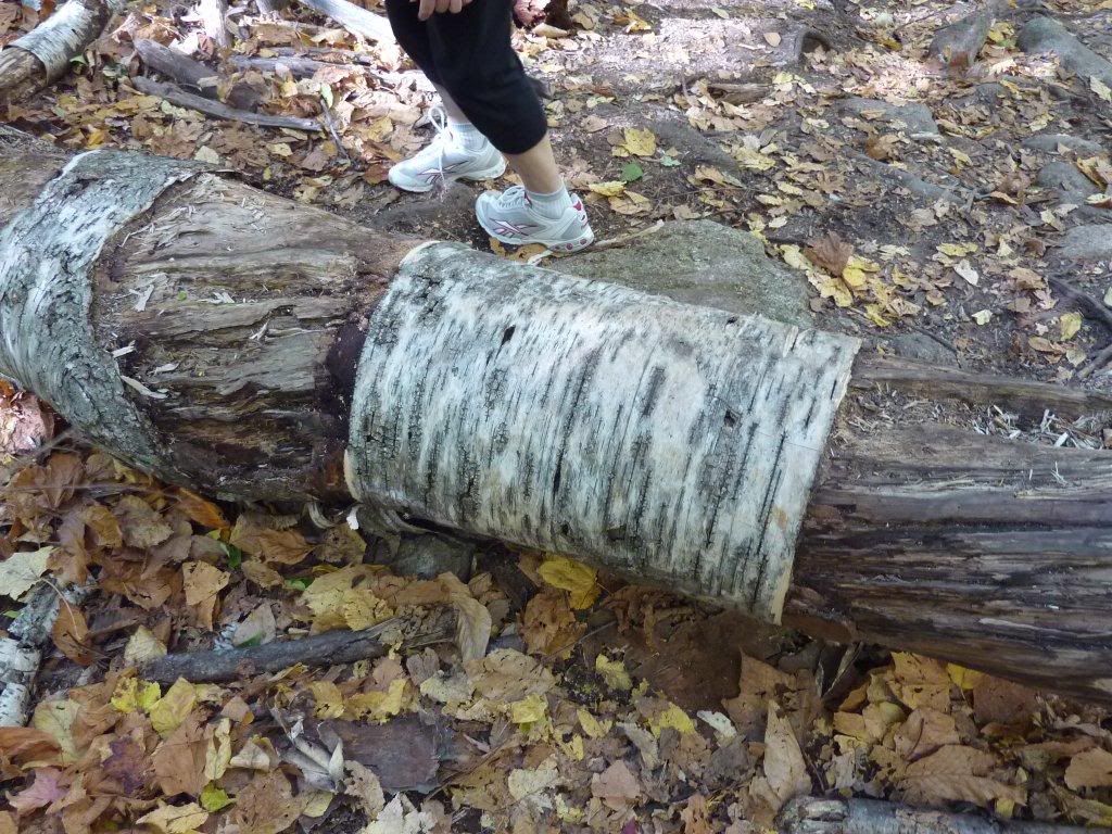
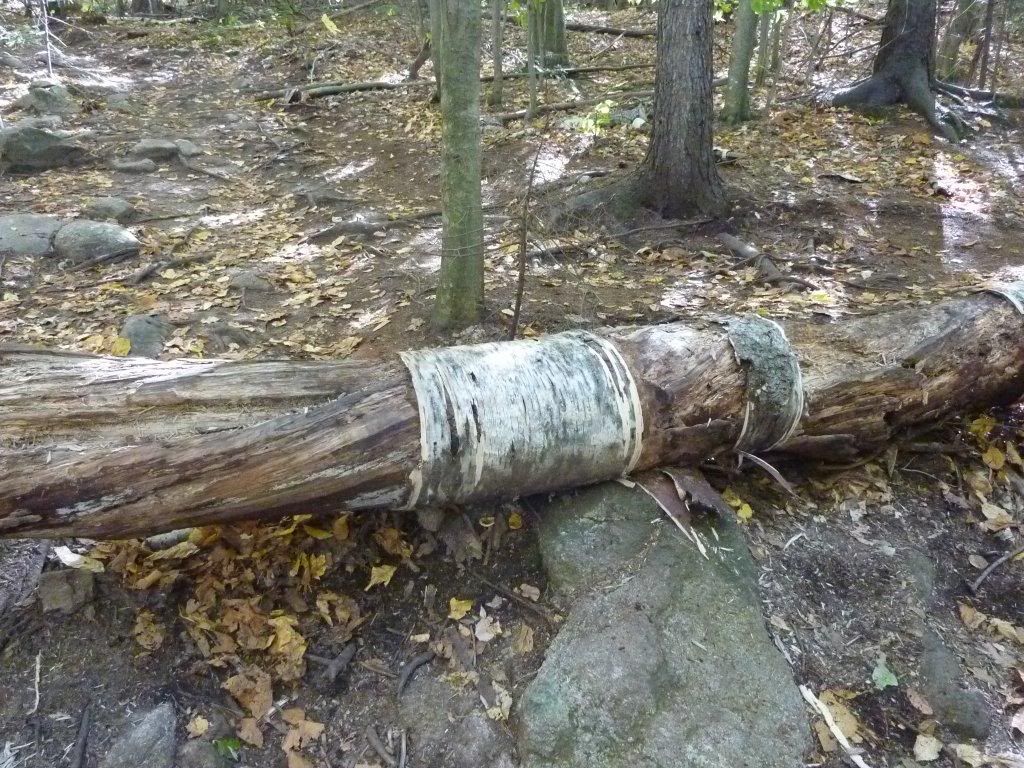
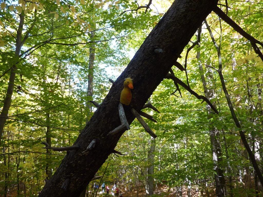
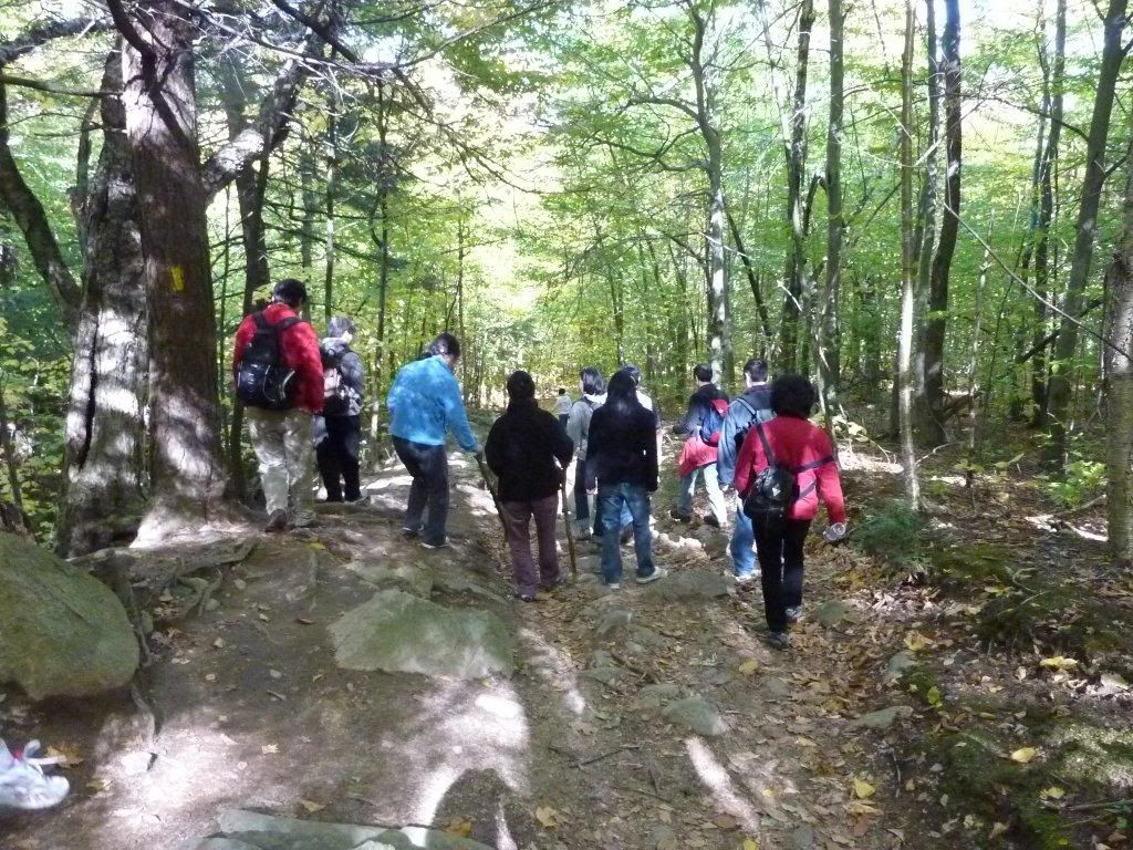
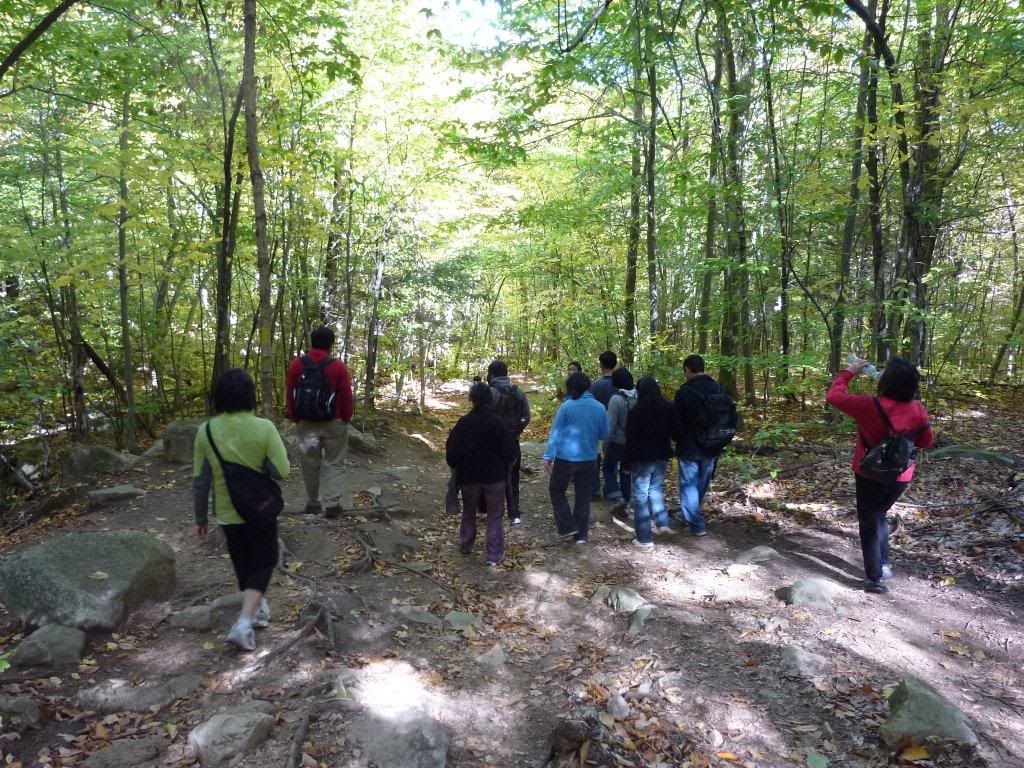
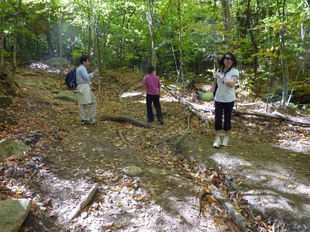
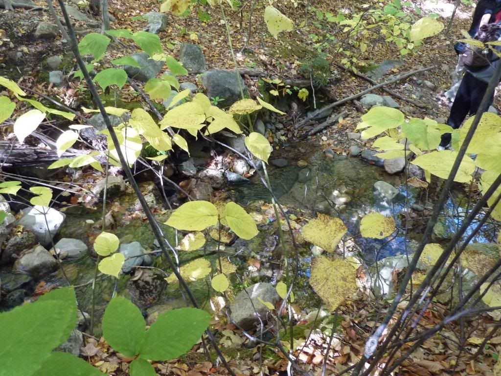
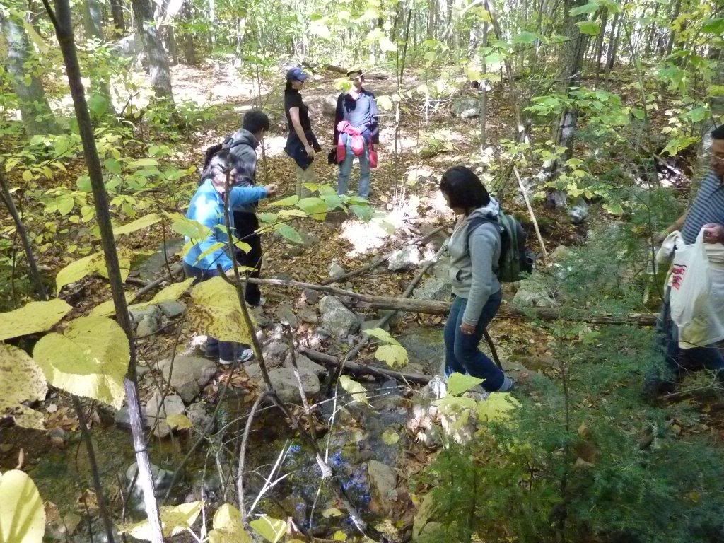
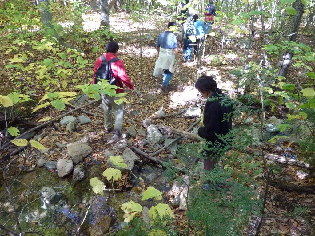
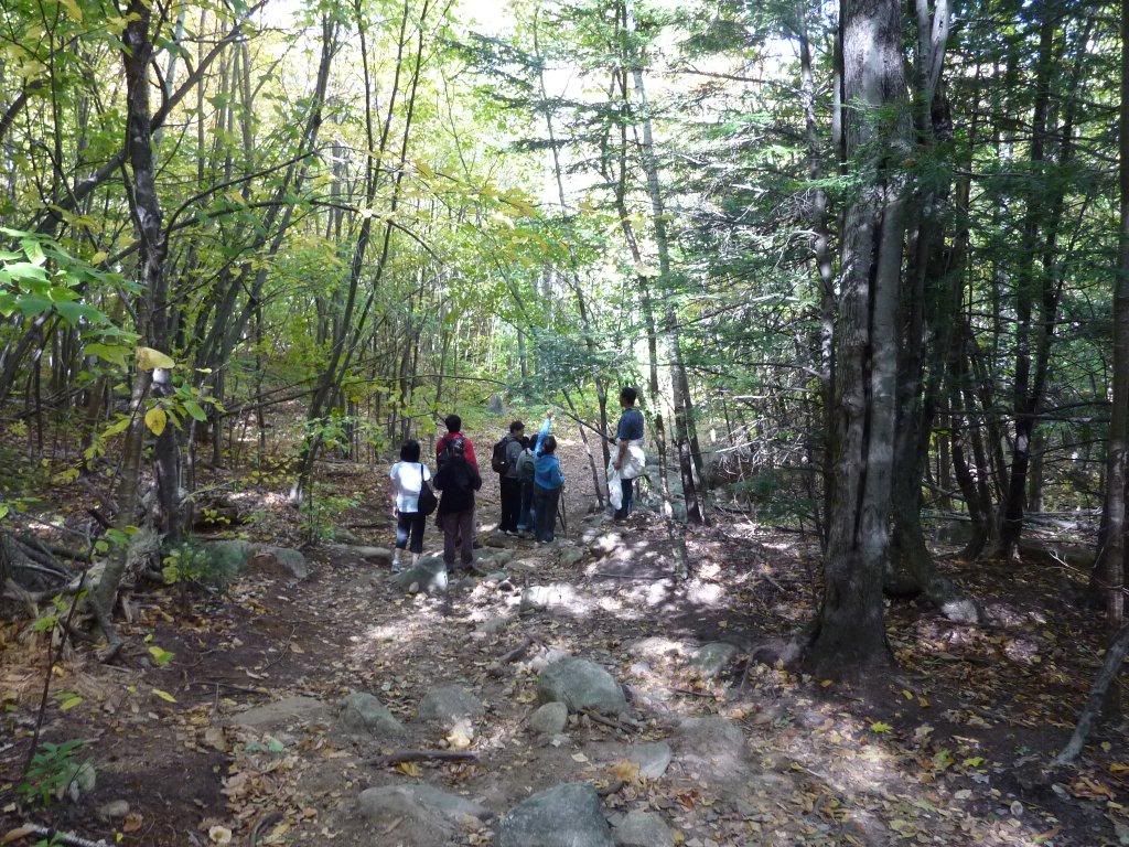
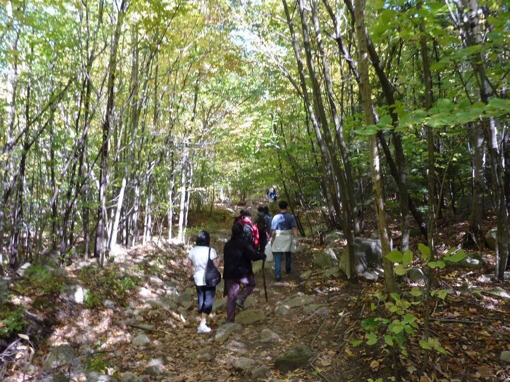
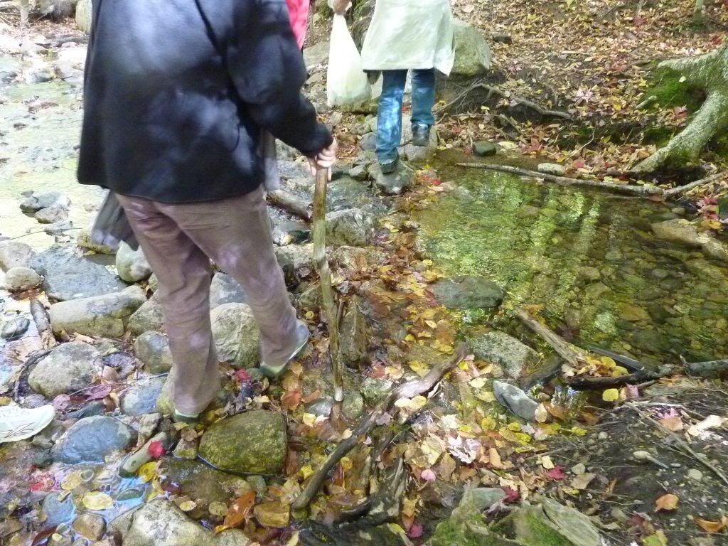
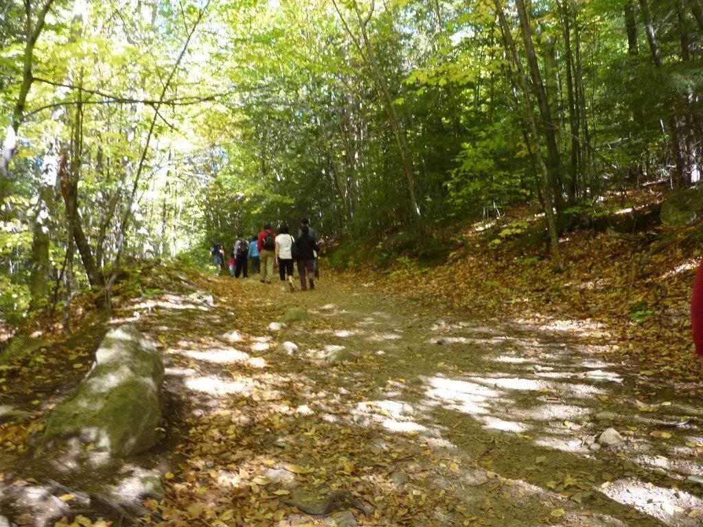
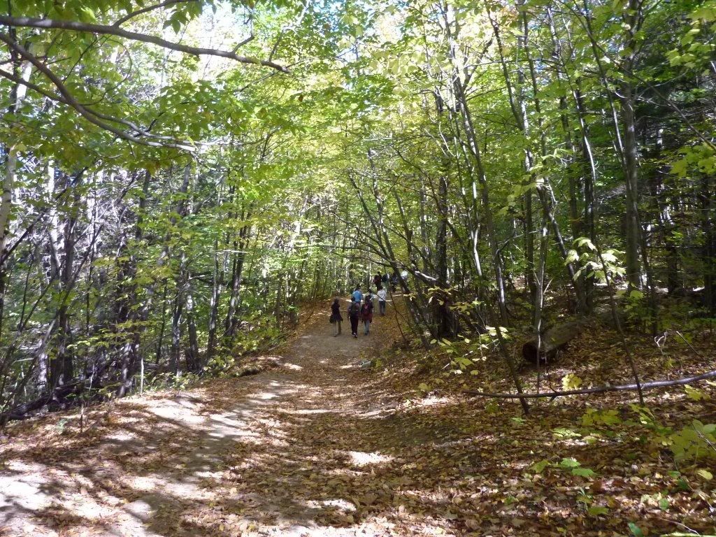
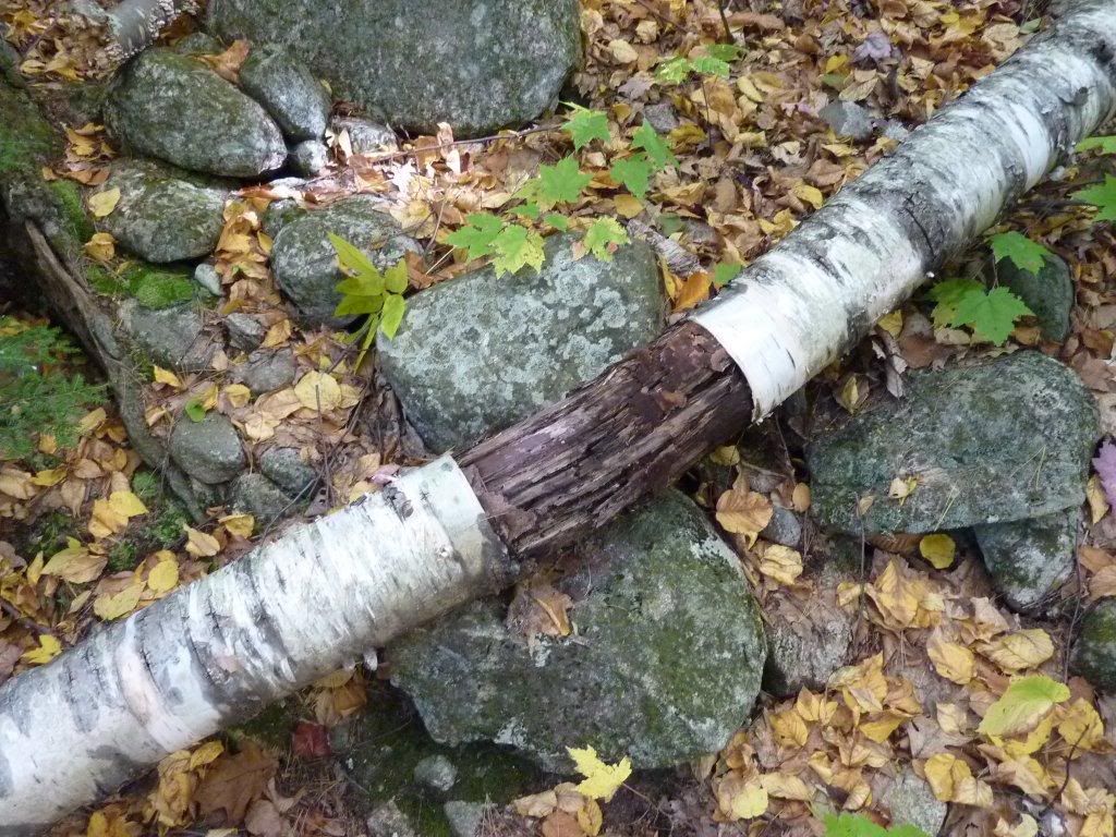
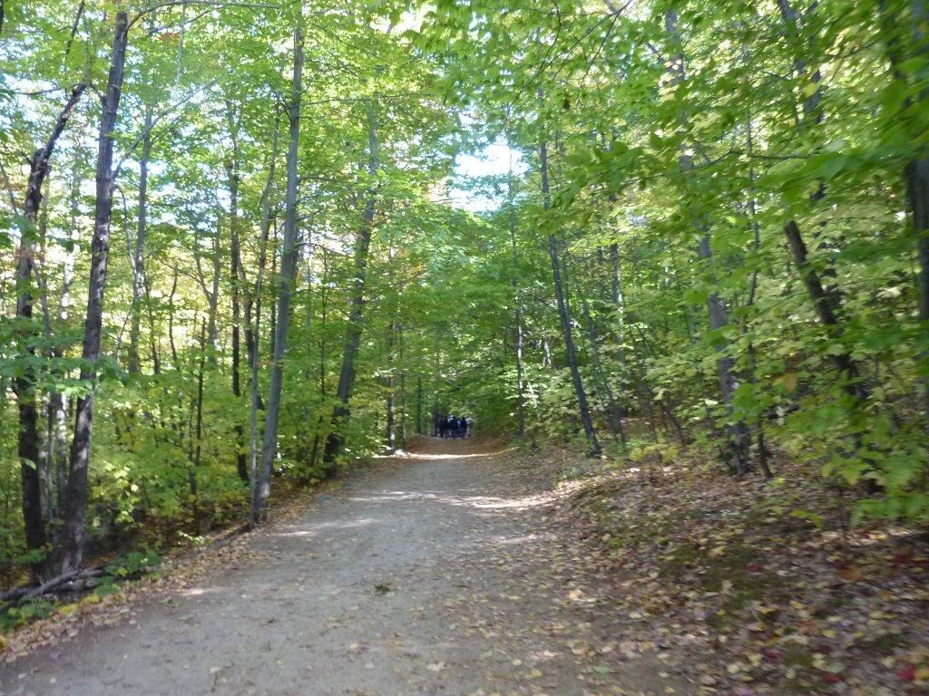
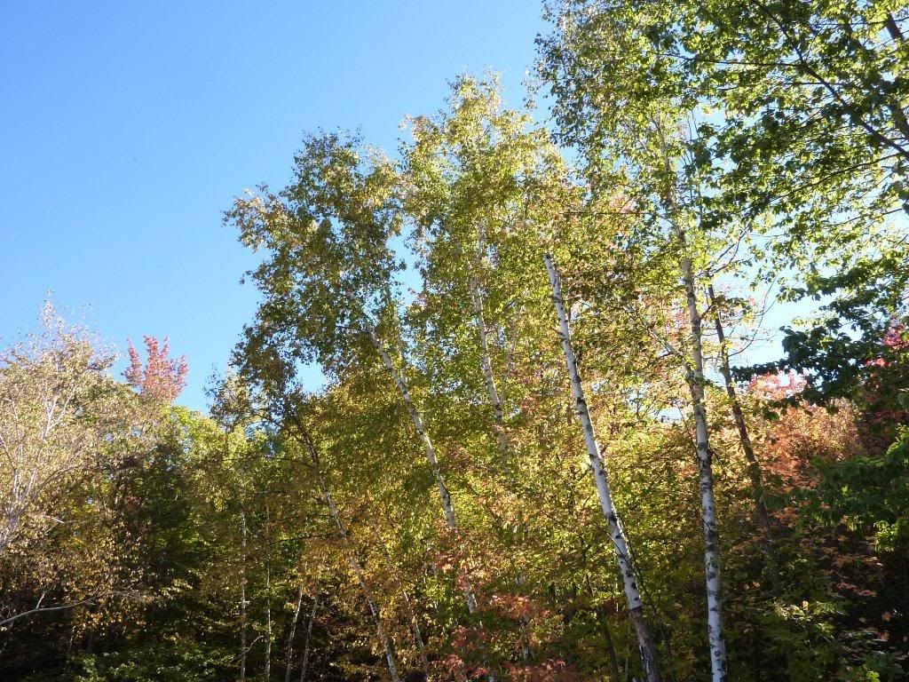
谢谢大帅的好领导,明年建议攀登珠穆拉马!
历史资料:
~~~~~~~~~~~~~~~~
Dear All
It's that time of the year - The Columbus Day - again! As now an annual tradition, let's get out and do some mountain hiking and foliage peeking! Thanks to Yi who made an excellent suggestion, let's go to Mount. Major in Alton, NH this year. Here is some info related to hiking in Mount Major - http://hikenh.netfirms.com/TDMajor.htm. The plan is as follows,
What - Columbus Day Outing
Where - Mount Major, Alton, NH
Date - Sun. 10/10
Time to Meet - 10:30am
Where to Meet - Trailhead: Large parking lot South side of NH Route 11, about 2.2
miles E of Route 11-A.
Lunch - picnic on the mountain top, make sure to bring light-weight food.
Other Notes
1. We will use the main trail, trail distance is about 1.8mi, elevation 1100ft, about 2hr
hiking time each way.
2. The distance from here to Mount Major is roughly 100mi (depends on where you
live) , so plan for about 2hr driving time
3. We should be reaching mountain top at about 12:30, and start to get down at
around 2pm, and get back home before sunset.
4. Try to be on time to meet at the parking lot by 10:30am. Call if things happen.
Please let others know if you'd like to join the outing.
Some more detailed information about the trail place,
Location: Lakes Region
NH 2003-2004 map L-8
DeLorme NHA&G 36-E6/7 - Alton
The trail is located SW of NH Route 11 between Laconia and Rochester
Trailhead: Large parking lot S side of NH Route 11 about 2.2 miles E of Route 11-A, elevation about 650 feet
43.5193°N, 71.2738°W (WGS84)
From I-95 in Portsmouth, follow the Spaulding Turnpike/ NH Route 16 N about 21 miles to exit 15, then follow NH Route 11 about 20.6 miles W to parking lot on L.
Far End: Summit of Mount Major, elevation 1786 feet
Special regulations: No fires or camping
Description:
Main Trail: Take the obvious woods road which leaves the R side of the parking lot as you face the mountain. There are blue blazes but you won't need them to follow the road. Almost within sight of the parking lot, the road forks; either fork is OK but make sure everyone in your party goes the same way if you don't want to waste much of the day looking for them. After the two rejoin, the blue blazes and the Main Trail turn left at another junction about .8 miles from the parking lot. The road becomes a footpath, often with several branches which usually rejoin. There are a number of rock slabs to ascend, and because this trail is on the N side and gets a lot of foot traffic, it may be the iciest route up in cold weather. The trail climbs over a small knoll then steeply up the rocks to the summit. Distance from parking lot: 1.8 miles. On the return, look for blue blazes dropping off to the NE.
Feel free to bring other friends if you will.
Thanks.
J


